NEARMAP
Nearmap is an innovative aerial imagery company with its then-world-leading airborne technology developed by the Innovaero team.
Founded in 2007, Nearmap has evolved from a small online startup to become a next-gen digital content leader and ASX 200 technology company. It provides instant access to high resolution aerial imagery, city-scale 3D datasets and integrated geospatial tools to clients in Australia, the United States and Canada.
Every day the business helps thousands of users conduct virtual site visits for deep, data-driven insights, enabling informed decisions, streamlined operations and significant cost savings.
Launch airborne technology development
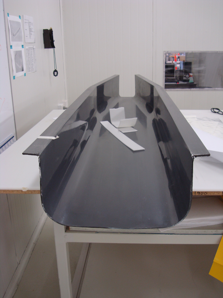
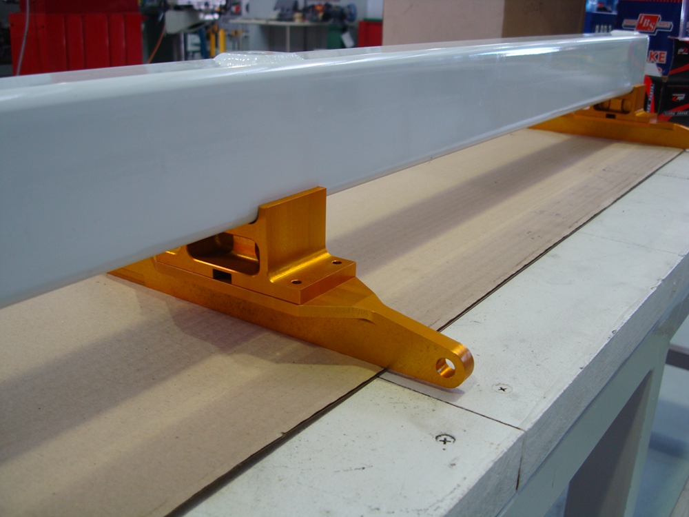
Innovaero developed Nearmap’s first generation of aerial imagery equipment – from initial technology demonstration and development, through to certification and production camera systems.
Innovaero’s team took the camera concept through a series of initial trials with a single vertical camera, then morphed that into a prototype complete array of cameras and finally the initial batch production design.
This was an intensive and complex challenge to not only design a sophisticated camera system but install it to a light aircraft and perform a substantial development and flight test programme. There were some interesting stall-handling issues with the design that required an innovative approach to ensure compliance.
Flight operations management
Innovaero’s role was not only limited to technical engineering services, the company also developed the Australia-wide flight operations capability.
Innovaero developed the processes for managing a country-wide flight operations organization which was delivered to Nearmap as a turn-key operation. This was a broad programme from an absolute clean-sheet to secure sub-contractors, develop a commercial contract on-boarding package, develop scheduling and survey management processes, manage a complex data logistics challenge and make all that work prior to delivery to the client.
From a standing start this was designed, implemented refined then and handed over in the required nine month timeframe – including six monthly surveys of all the Australian capital cities and a one-off 50,000sqkm survey in regional Victoria!
